Exploring Route 204 in Abra
Route 204 - Abra Kalinga Road
What to See, What to Do – Km 438 to Km 490
Abra Kalinga Road from Licuan-Baay to Malibcong
Route 204 – The Abra Kalinga Road
Route 204, begins 4km north of Narvacan, Ilocos Sur and is known as the Abra-Ilocos Sur road until it reaches Bangued, From the Capital of Abra the road then becomes the Abra Kalinga Road.
After passing through the lowlands of Ilocos Sur, the road winds its way 9km uphill through the mountains to the Abra border and the Tangadan Tunnel.
Our “Guide to Route 204 in Abra” will take you on a journey of 102km from the Tangadan Tunnel to the border of Kalinga passing through seven municipalities along the way.
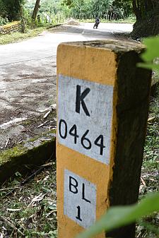
In each case, it is the kilometre post before the landmark you need to look out for. (For example if a Waterfall at Km 452 is mentioned, then it will be somewhere between Km 452 and Km 453).
I have also listed the Coordinates for each JOP where known.
Now go out and Explore Abra’s Route 204, The Abra Kalinga Road
Route 204 – The Abra Kalinga Road from Licuan-Baay to Malibcong
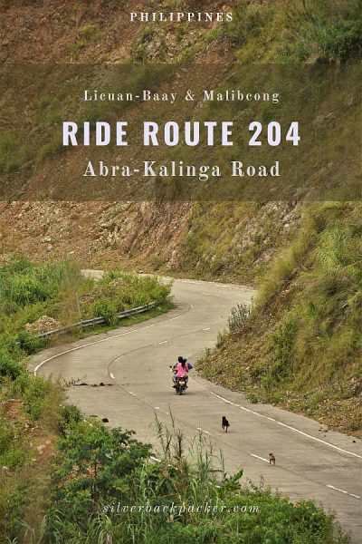
For a spectacular weekend drive, set your course for the 52km section of Route 204, the Abra Kalinga Road in Licuan-Baay and Malibcong. This road trip will take you from the Municipal Border of Licuan-Baay right up to the Kalinga Border.
The road can be driven in less than 4 hours, but plan at least a long weekend to enjoy all the sights and activities along one of Abra’s main roads. Take time to explore the waterfalls, scenic mountain trails for hiking or biking, rock formations and mossy forests along the way.
The mountainous ridge section of Route 204 Licuan-Baay Malibcong along the Abra Kalinga Road offers tourists many options for exploring the area.
At Km 452, there is the Tubong Falls and the Tubong Market. While just one kilometre further up the road at Km 453 the Talaay Pine Forest and the jump-off point to Talaay Falls and Gammac Falls are waiting for you.
At Km464. the Baquero Country Inn provides a good place to stop for a rest, and have a cup of coffee.
The Malibcong Welcome Arch is at Km475 and the Kalinga Border which ends this section of the Abra Kalinga Road at Km490.


Rolling Hills Viewpoint – Km 448
Coordinates 17°37′15.71″N 120°51′46.6″E
Our first stop is just after Km post 448. Here there is a tremendous view of the otherside of the Apao Rolling Hills in Tineg. If you have already visited the Tineg side then you will know what to expect. If not this is a taster for when you do travel there.
The best time to stop here is early morning for sunrise when the hills are highlighted by the rising sun behind you.

Lacub Junction – Km 449
Coordinates 17°37′20.04″N 120°51′43.41″E | 520masl
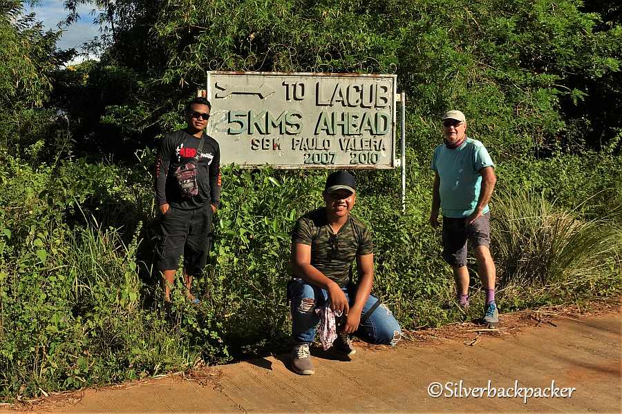
Just before the turn-off for Lacub there is a DENR checkpoint and a few metres further is the turning for Lacub, which is 25km further down the road.
Lacub is well worth exploring. There are ancestral houses in Buneg, several waterfalls to chase, and if you are organised before hand, you could do the 2/3 day hike from Lacub Poblacion to Vira in Tineg following the Binongan River trail passing through Bacag, Lablabinag and Lan-ag.

Tubong Falls – Km 451
Coordinates 17°37′04.98″N 120°51′42.32″E
A guide can be hired at Talaay Pine Forest ( ask for the Brgy Captain at the Kiosk by the Brgy Bonglo Arch) to show you the best way to access the falls.

Tubong Market – Km 451
Coordinates 17°36′54.91″N 120°52′08.33″E | 610masl
The first pit stop along this section of the Abra Kalinga Road is at Tubong Market is a roadside stand open from around 6am that provides a welcome stop from Route 204’s winding and twisting road. There are a variety of snacks available here such as lumpia, shanghai, dila-dila, and patupat costing just P10 each. Sometimes they even have brewed coffee too.
Also for sale are locally grown fruits and vegetables, pure honey, wild mushrooms and truffles (in season). Do stop and support the local stallholders by buying a snack or some vegetables. This helps them to feed their families.
Jeepneys plying the Bangued to Malibcong route stop here to refill their radiators from the falls beside Tubong Market after the effort of the long uphill climb from Lagangilang.

Talaay Pine Forest – Km 452
Coordinates 17°36′42.66″N 120°51′58.11″E | 622masl
Contact Edgar, Brgy Captain of Bonglo for Guides to the Falls and Baluyen Rockies
Mobile # 09650815952
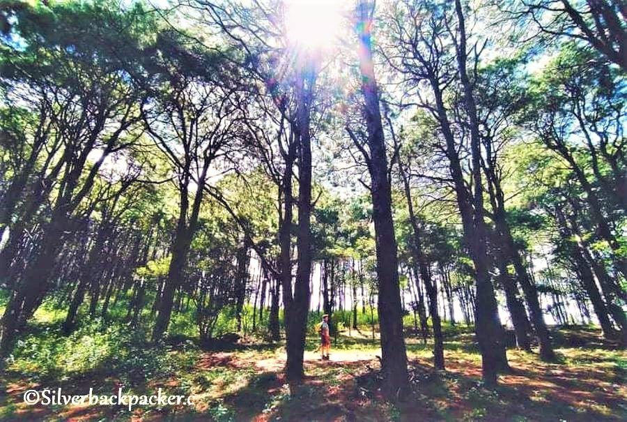
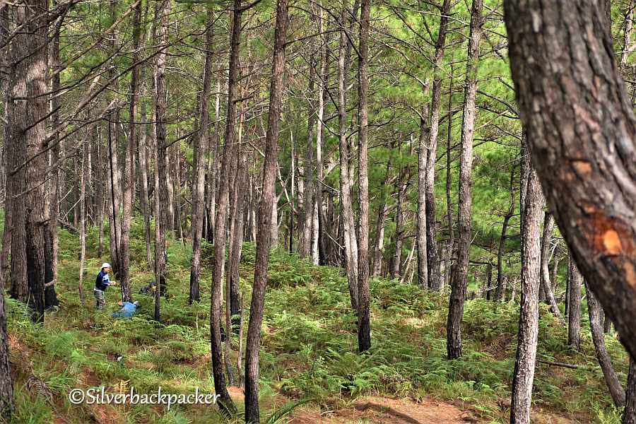
One kilometre and a few minutes after leaving Tubong Market you will arrive at Talaay Pine Forest. This is a good place for a picnic and to roam around amongst the pine trees and commune with nature.
There are several props made from bamboo, wood, rattan and other natural materials for you to take some selfies and family photos. This is a great place to let the kids run wild and free and enjoy themselves safely.
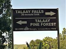
You will notice also the Welcome Arch for Brgy Bonglo and a small kiosk beside it. Here you can arrange guides for the trek down to Talaay Falls (30 minutes), and Gammac Falls (90 minutes)
If you have plenty of time you can even arrange a combined circular hike to Baluyen Rockies and Talaay Falls here (4 to 5 hours).
***Don’t miss the view of Mt Bullagao ( Sleeping Beauty) from here.
Talaay Falls – Km 452
Coordinates 17°36′13.38″N 120°52′05.79″E | 412masl
Talaay Falls is just a 30 minute hike down from Route 204 the Abra=Kalinga road. There are several levels to the falls with plenty of boulders to navigate along the way. Make your way to the bottom level where there is a nice flat rock that you can picnic on while sitting in the cool water.
A feature of Talaay Falls to look out for is a Rock sculptured by time, that when the water falls and flows over it, an oyster shell can be seen. It is really mesmerizing to stand there and watch the show.
Why not make the most of your time and spend a day here with a circular hike from Talaay Pine Forest to the Baluyen Rockies including the Lion King Rock and then hike down to Talaay Falls for a swim to finish the day. You can arrange guides at the Kiosk by the Brgy Bonglo Arch.


Gammac Falls – Km 452
Coordinates 17°35′12.14″N 120°51′18.61″E | 400masl
If you want to continue exploring this part of Brgy Bonglo, then you can continue on for another 60 to 90 minutes to Gammac Falls, but you should arrange this with your guides beforehand.
The well established trail from Talaay Falls will take you down to Sitio Gammac, passing a viewpoint of Mt Baluyen and over a hanging bridge. Once in Sitio Gammac, the Falls are just a 20 minute hike upriver. There is a small pool to bathe in and the falls give a good refreshing water massage on your back.


Licuan Junction – Km 456
Coordinates 17°36′42.06″N 120°53′22.38″E | 812masl
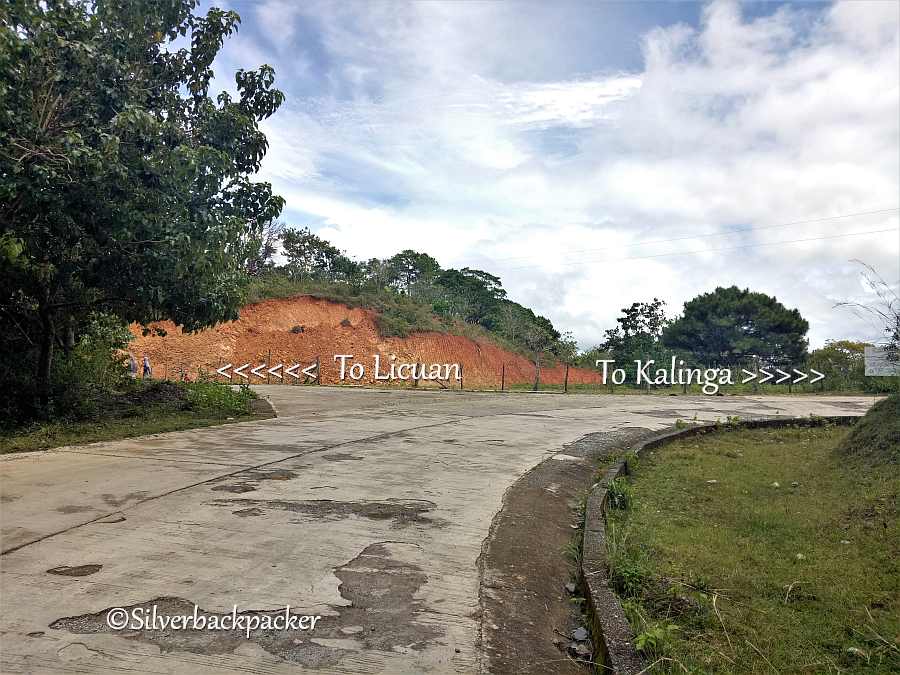
Just a hundred metres or so after Km Post #456 is the turning for Licuan. There is no signpost to alert you, so be aware that for the Licuan side of the Municipality you need to turn left here and drive downhill for about 5km to the town of Licuan.
To continue further along Route 204, the Abra Kalinga Road to Licuan-Baay and Malibcong you need to go right and follow the road on the Baay side.

Mount Capcapo Gold Mines – Km 458
Coordinates 17°35′56″N 120°53′11″E | 834masl
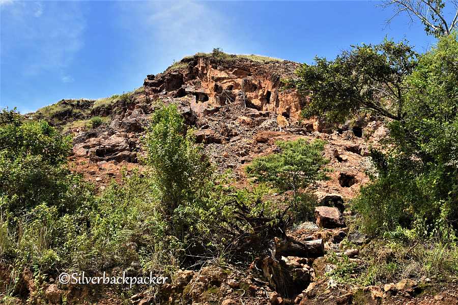
You cannot miss this huge scar on the landscape of Licuan-Baay. A bare brown mountain with scattered openings created by miners digging for gold.
The Capcapo small scale mining site in Poblacion, Licuan-Baay, Abra closed a few years ago due to the danger of landslides and collapse of the tunnels.
Mt Capcapo is best viewed a little further up the road where the road winds round the mountain and you are exactly opposite the mines. Do not enter the mines as they are deemed dangerous and liable to collapse.
Baluyen Rockies JOP – Km 459
Coordinates 17°35′29.71″N 120°53′10.88″E | 857masl
When you pass Km Post 459 look out for a track on the right side of the road. This is the JOP for the Baluyen Rockies trail. It is best to arrange a guide to meet you here (Guides can be booked through Abramazing Tours) as the way is not straight forward and there are some difficult parts to it.
Baluyen Rockies – Km 459
Coordinates 17°35′31.21″N 120°52′31.63″E | 933masl
Before you set off make sure you have a Guide to assist you. See above for Booking a Guide.
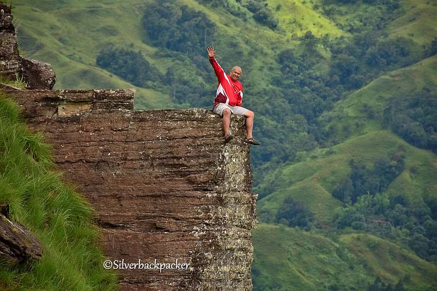
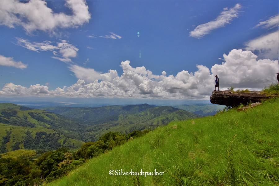
The trail leads you up a short climb to a Pine Forest and out to the grassy hills of Licuan. There are some spectacular views along the way so be sure to have your camera ready. The “Lion King Rock ” is reached after around 50 minutes of hiking and a short distance afterwards you will reach Baluyen Rockies famous Triangle Rock.
Can you overcome your fear to safely stand on its ledge??
Sigmund’s Panciteria – Km 464
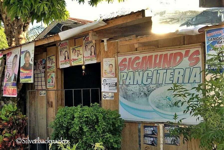
At last we arrive at Brgy Nalbuan and its time to eat and take a break from Route 204, the Licuan-Baay Malibcong segment of the Abra Kalinga Road .
If you fancy an Abra Miki then Sigmund’s Panciteria is on the left just as you enter the town.
They serve pancit miki and also brewed coffee.


Subagan and Licuan Junctions – Km 464
After you have passed Sigmund’s Panciteria, will see two narrow roads.
The turning to the left will take you along an unpaved road and eventually you will arrive in Brgy Caoayan. Here you turn right over Kasalalan Bridge if going to Maney Hill or continue straight, going through the basketball court for Licuan.
The turning to the right will take you to Brgy Subagan, 5km downhill, on a partially concreted road with some rough patches. In Subagan you can visit the Herrero Farm, and the Subagan Falls .


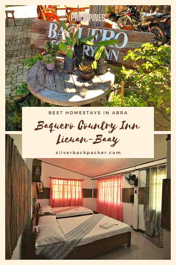


Baquero Country Inn – Km 464
Coordinates 17°34′16.07″N 120°54′03.86″E | 732masl
Phone 0933 862 7759
Baquero Country Inn has its own bakery and serves brewed coffee as well as home-baked pizza made to order, which takes around 30 minutes to prepare and bake. A variety of other dishes are available from the menu.
There are also a couple of rooms available here if you would like to stay overnight. It is best to contact them on the Baquero Country Inn Facebook Page to check availability.
They are planning to open camping on the lower level in 2021 too.
Just across the road is the 464 Filling Station where you can buy fuel for your bike or car.


Municipal Hall – Km 464
Coordinates – 17°34′16.08″N 120°54′05.79″E | 735masl
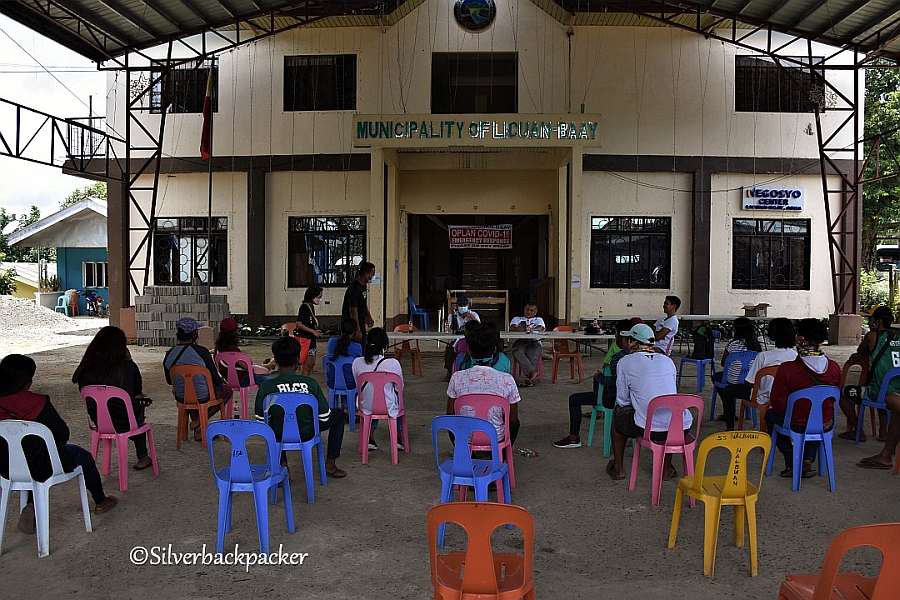
The Municipal Hall is situated about 50 metres further up the road from Baquero Country Inn. The LGU oversees the administration of the 11 barangays of the municipality – Licuan, Bonglo, Bulbulala, Caoayan, Domenglay, Tumalip, Lenneng, Mapisla, Mogao, Nalbuan and Subagan.
Just outside the gates of the Municipal Hall is a temporary police checkpoint, monitoring travellers passing through the locality due to the current Covid Pandemic.



Licbay Castle – Km 465
Coordinates – 17°34′15.24″N 120°54′10.21″E | 772masl
Built by Andres Wanasen D Bayle, a former mayor of Licuan-Baay from 2002 to 2010.
Licbay Castle is a feature of Brgy Nalbuan. The castle can be seen from the Abra-Kalinga road long before reaching the town.


Panciteria – Km 465
Opposite Licbay Castle is a Panciteria in a small wooden building.
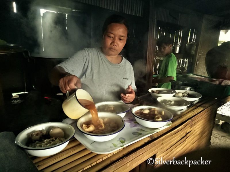
The jeepneys from Malibcong usually stopover here for a break on their way to Bangued. Yet another place to grab a quick snack of nutritious Abra Miki.




Nagpaoayan Falls – Km 473
Coordinates – 17°32′56.1″N 120°56′09.89″E | 1140masl
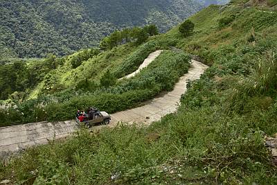
The small isolated village of Nagpaoayan sits 264 metres below Route 204 at 876masl. To get here you drive down the steep road for around 5 km. You will need a 4×4 or motorbike to navigate the road, which is only concreted for about 3km. If you are hesitant about driving all the way then you may leave your vehicle at the end of the concreted section and walk the rest.
The villagers here are farmers and grown vegetables and rice. There is also a small Robusta coffee plantation. You can ask at the Sari-sari store if there is any available for sale.
Hidden away in the rain forest is the Nagpaoayan Falls. Just a 30 minute trek from the village it is a sight to behold. Falling around 50 metres the cool water then flows through a couple of pools where you may bathe, before flowing down to the settlement. This is also the water supply of Nagpaoayan.


Hilltop Rest House – Km 474
Coordinates – 17°32′58.96″N 120°56′21.96″E | 1162masl
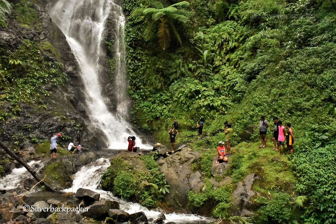
Hilltop Rest House is another option for staying overnight in the area. Hilltop provides really basic accommodation at a pocket friendly price. Bring your own bedding or hammock.
Good for groups of bikers or cyclists, and groups of friends. You will need to bring your own food as there is nothing available close by. There is also the option to go 10km down to Baquero Country Inn or eat at one of the Panciterias in Brgy Nalbuan. You can also stock up with supplies from one of the shops in Brgy Nalbuan.
Booking Contact – Mercy Kate Bayudang Wayagwag


Malibcong Welcome Arch – Km 475
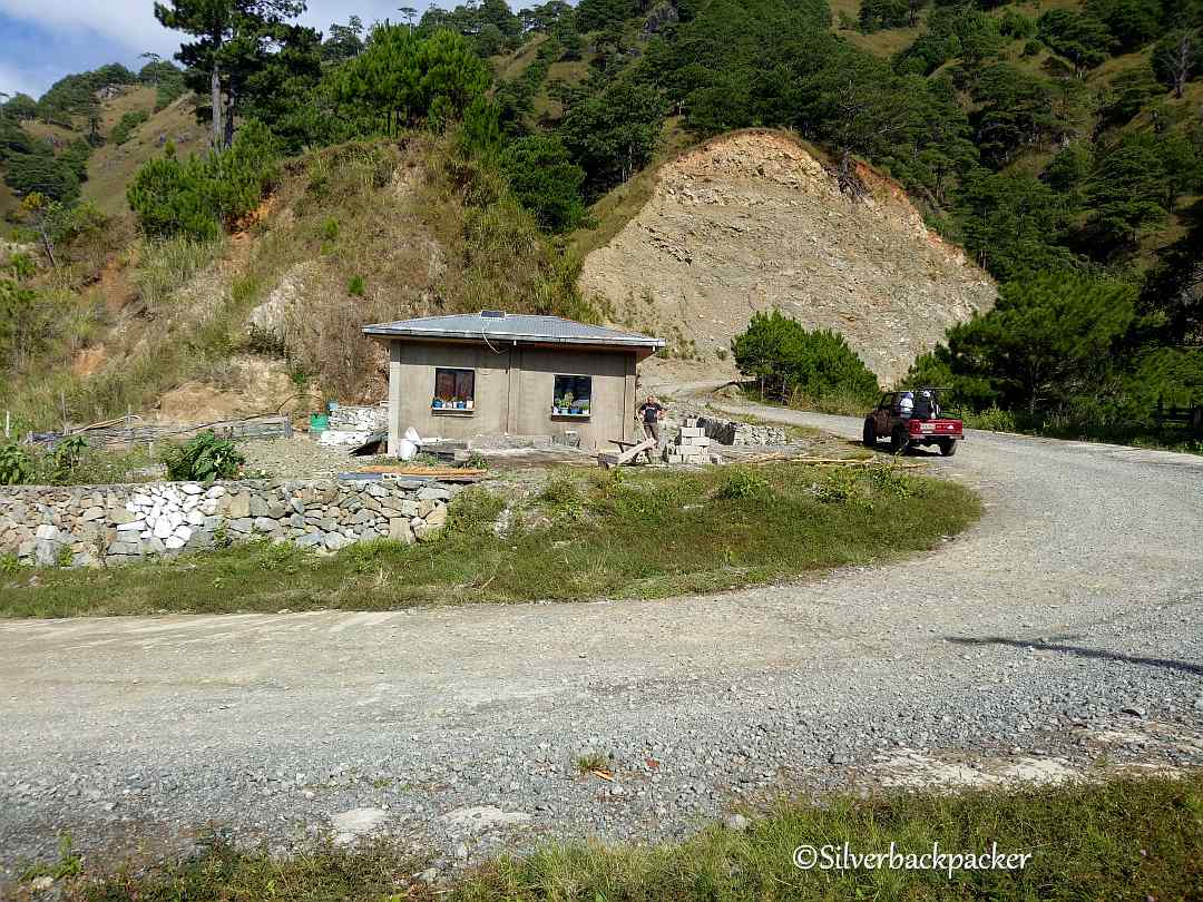
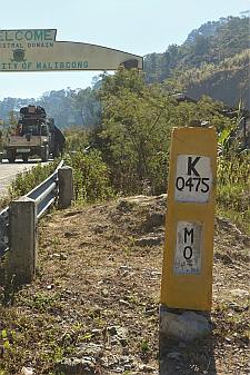
Coordinates – 17°33′00.22″N 120°56′51.44″E | 1250masl
The Border of the Municipalities of Licuan-Baay and Malibcong.
If you need an internet signal, this is one of the few places along the Abra-Kalinga road that there is one.
On the right side of the Welcome Arch is a good place to capture some amazing sunset shots over the mountains below.


Ayba Gas Station and Tourist Centre, Aguibo – Km 475
Coordinates – 17°32′58.42″N 120°57′13.63″E | 1261masl
*** NOTE – You need to register here if you are a Tourist and going up to the Kalinga Border or down to visit Malibcong.
Now you are really up in the clouds. It is cool and damp.
Just up the road from the Welcome Arch is the Ayba Gas Station in Aguibo. You can refuel here if you need. There is also a small panciteria if you feel hungry and sometimes a cup of brewed Malibcong coffee.
Guides can be arranged here for the Mossy Forest hike at Km 490 and also for the trek to see the worlds smallest Rafflesia Flower – Rafflesia Consuloae. (Rafflesia flower from late September to November) .
Malibcong is home to the world’s smallest Rafflesia
One hundred metres further is the junction where you turn left for Malibcong.


Saad Pine Forest Campsite – Km 480
Coordinates – 17°31′43.37″N 120°57′25.01″E | 1415masl
4.1km after the Malibcong Welcome Arch you will arrive at a large parking lot near a pine forest. This is the Saad Campsite.
As yet there are no facilities here so you will need to bring everything you need including tents, hammocks, water and food. You may camp inside the pine forest.
You will need to register at the Tourist Centre in Aguibo.
Remember the Golden Rule of Camping – Leave No Trace


Lamunan Rock Formations – Km 481
Coordinates – 17°30′45.55″N 120°57′15.44″E | 1526masl
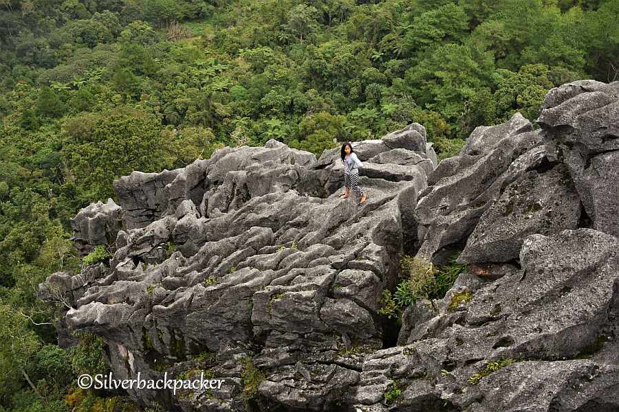
Technically Lamunan Rocks are in Daguioman but everyone uses Route 204 through Licuan-Baay and Malibcong to get to them as it is much easier and shorter. They are just a 30 minute hike from the JOP at Km 481.
You will come you a very narrow concrete road that is signposted Daguioman. Follow this road down hill till you can drive no more. Park up and then walk to Lamunan Rocks.
This Karste Limestone rock formation features caves, underground streams and sinkholes on the surface. Be very careful when climbing over the rocks, they are very sharp and take care not to fall. The holes are very deep.


Mt Bullagao Viewpoint – Km 487
After Km Post 487 keep a lookout for a viewpoint on the left. On a clear day you can see across the treetops of the rain forest, right over to the otherside of Abra and view the iconic Mt Bullagao and the Abra River.




Mossy Forest Hike – Km 490
Coordinates – 17°29′22.22″N 120°59′42.68″E | Mossy Forest Viewdeck 1824masl
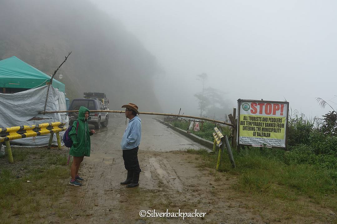
Make sure you have registered and have a guide for the trek through this small mossy forest which site on the Kalinga border and is part of the Balbalan National Park.
If you have not entered a mossy forest before then this will be an excellent taster hike for you. You will see nature at its best in a natural environment. It can get cold and damp at this altitude (1824masl), so bring something warm and waterproof to wear.
Enjoy the flowers, trees, insects, birds and animals in their natural state and place. Do not take anything away with you.


Abra Kalinga Border – Km 490
Coordinates – 17°29′33.02″N 120°59′50.77″E | 1739masl
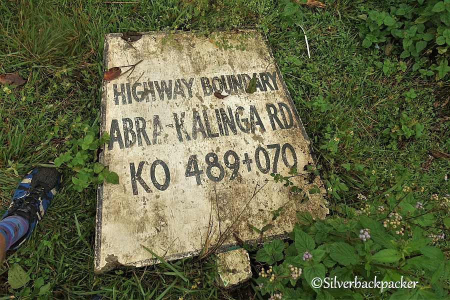
At last we arrive at the Kalinga Border and the end of the Abra Kalinga Roadin Abra, the Route 204 Licuan-Baay Malibcong segment.
Unable to cross at the time of writing due to the Covid Pandemic. I hope you will take time to drive, ride or even walk Route 204 and explore what it has to offer.
If you find something interesting that is not mentioned please leave a comment below.
There is much to see, enjoy and learn along the way.



Essential Travel Guides
Your Guide to
Route 204
The Abra Kalinga Road
Licuan-Baay Malibcong
Abra,
Philippines
Related Posts you may like to read
Riding Mt Sedir – Abra’s Road for Bikers
Where to Sleep,and Eat Route 204 Licuan-Baay Malibcong
Where to Sleep
Baquero Country Inn – Brgy Nalbuan
Hilltop Resthouse – Nagpaoayan
Saad Pine Forest Campsite – Sitio Aguibo
Where to Eat
Tubong Market – Brgy Bonglo
Sigmunds Panciteria – Brgy Nalbuan
Baquero Country Inn – Brgy Nalbuan
Panciteria opposite the Castle – Brgy Nalbuan
Ayba Gas Station – Sitio Aguibo
Did you like “Exploring the Abra Kalinga Road , Route 204 in Abra – Licuan-Baay & Malibcong ” ?
If so then please share this page with your friends.
Leave a comment below to let me know what you liked best.
Follow Silverbackpacker on Facebook, Instagram ,Twitter and Pinterest for more travel adventures and be notified about my latest posts and updates!
Thankyou for sharing 🙂
Please Note – All blog post photos on Silverbackbacker.com are of a lower quality to enable faster loading and save you data. If you would like to buy or license higher quality copies of any of the photographs you can email us at silverbackpackertravels@gmail.com
All photographs and content on this website remain the property of Silverbackpacker.com. Images may not be downloaded, copied, reproduced or used in any way without prior written consent.
Print purchases entitle the purchaser to the ownership of the image but not to the copyrights of the image which still remain with Silverbackpacker.com even after purchase.
Follow Silverbackpacker for more of his Travels
Facebook @silverbackpacker | Instagram @silverbackpacker
Twitter @silverbackpaker | Pinterest @silverbackpaker
Audere Est Facere – Silverbackpacker.com – To Dare is To Do
Affiliate Disclaimer: Links on this website may be affiliate links that could result in us receiving compensation when you purchase a product or service from that link. You do not pay any extra fees for these items. This helps us to keep this website going. Thank you for your support.
Disclaimer | Privacy Policy | All Rights Reserved



Thank you for the post. It’s really very helpful. I was told there’s a Bawalan Cave in Baay. May I ask, in case you know, if this is the cave under the Lamunan Rock Formation?
Yes there is a cave under lamunan in Baay. Last i heard was that it is closed to the public though.
Wow this guide is extensive. And I’m amazed at how beautiful Abra is, which I haven’t had a chance to visit yet, unfortunately. How’s the covid protocols in there? Are tourists free to visit?
I would have to spend at least 3 days to see everything. Though I would love to take a photo at the Lion King rock, I’m not too sure if I can do it. That ledge seems to be very narrow and I have a fear of heights. But the falls, those I can do. I love trekking and waterfalls, I’d be happy to take the adventure.
Hopefully, I can go visit Abra soon. I love the Cordillera region and I’ve been to all provinces except Apayao and Abra.
Thankyou for taking the time to read through this post Mara. Three days is the minimum you would need. Look forward to you coming and to Overcome your fears. Abra has so much to offer people. There is life in Abra.